Hot News
Chengjiang County, Yunnan province, image intelligent recognition water level station construction project
1. Project introduction
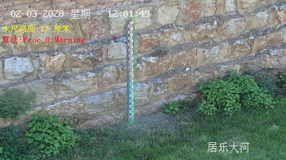
In July 2018, our company reached project cooperation with Chengjiang County Water Resources Bureau of Yunnan Province, including the construction of 17 image recognition water level stations, which have been completed. The results are as follows:
 Renderings of image recognition water level station of Chengjiang County Water Resources Bureau, Yunnan Province
Why build an image recognition water station?
Image recognition water level monitoring system with Internet + as the core concept, artificial intelligence as the core technology, the existing video image monitoring station resources mining and optimization, expand the function of video image station, without affecting the operation of the original video surveillance system, the use of video surveillance system resources mining, the construction of image recognition water level monitoring system. Increase the coverage and density of water level monitoring, enrich the water level monitoring information; Mutual information verification of image and data to ensure the accuracy of traditional monitoring data; Deep excavation of existing video image station resources to avoid duplication of construction.
Using the image recognition water level monitoring system, each image monitoring station can be endowed with the function of automatic water level station, and the water level data can be obtained in real time while monitoring the image. The water level identification data of image recognition water level monitoring system can be used as calibration and backup data of automatic water level station in water conservancy projects such as river and water conservancy hub. In the urban road water monitoring, the existing video station is used to upgrade and increase the waterlogging water level monitoring function without increasing the cost of hardware resources.
2, system structure
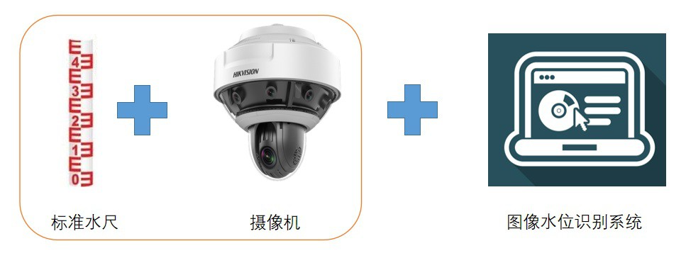
The water level image recognition system is mainly composed of video monitoring station, simple water gauge and image processing software. Among them, the video monitoring station has been built, and the simple water gauge needs to be newly installed, and the image processing software of each site can configure the algorithm according to the installation of the water gauge at each site (tilt, light, etc.) and the image shooting situation.

 Online Service


